2025 Michelin Benelux maps Spiralbound Atlas A4
2025 Michelin Benelux maps Spiralbound Atlas A4
Low stock: 3 left
Couldn't load pickup availability
Road atlas Benelux map A4 Spiral - Delivery £0.78 - Live Stock
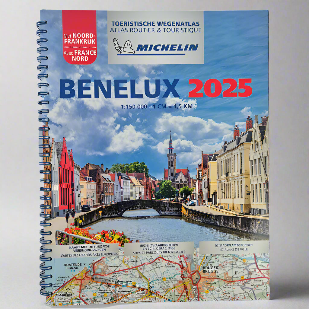
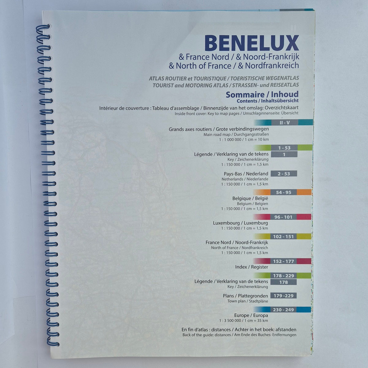
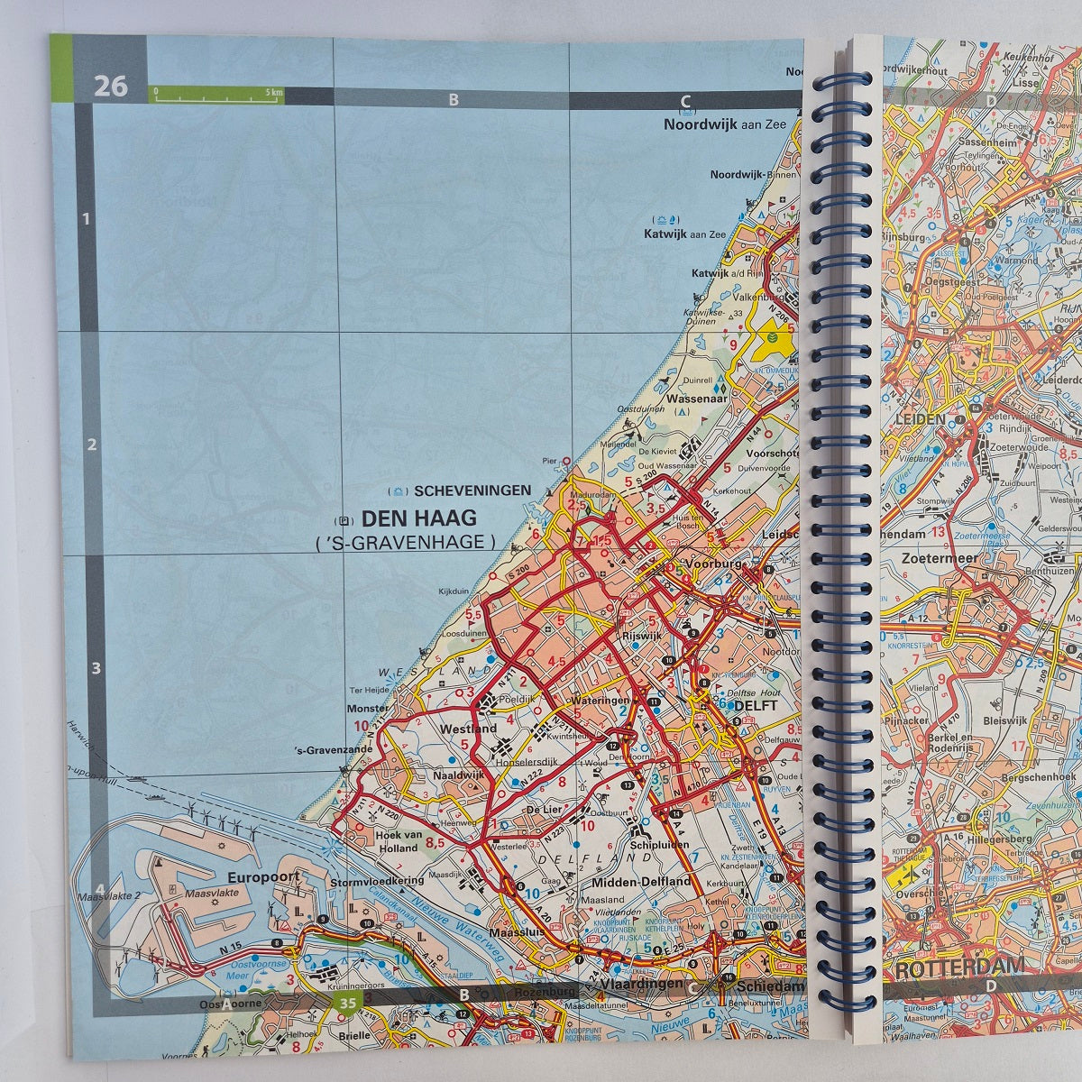
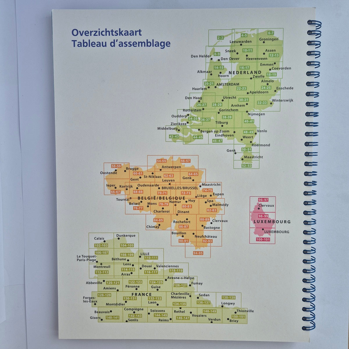
This road atlas maps Northern France, Belgium, Netherlands Holland and Luxembourg and has been revised and updated for 2025.
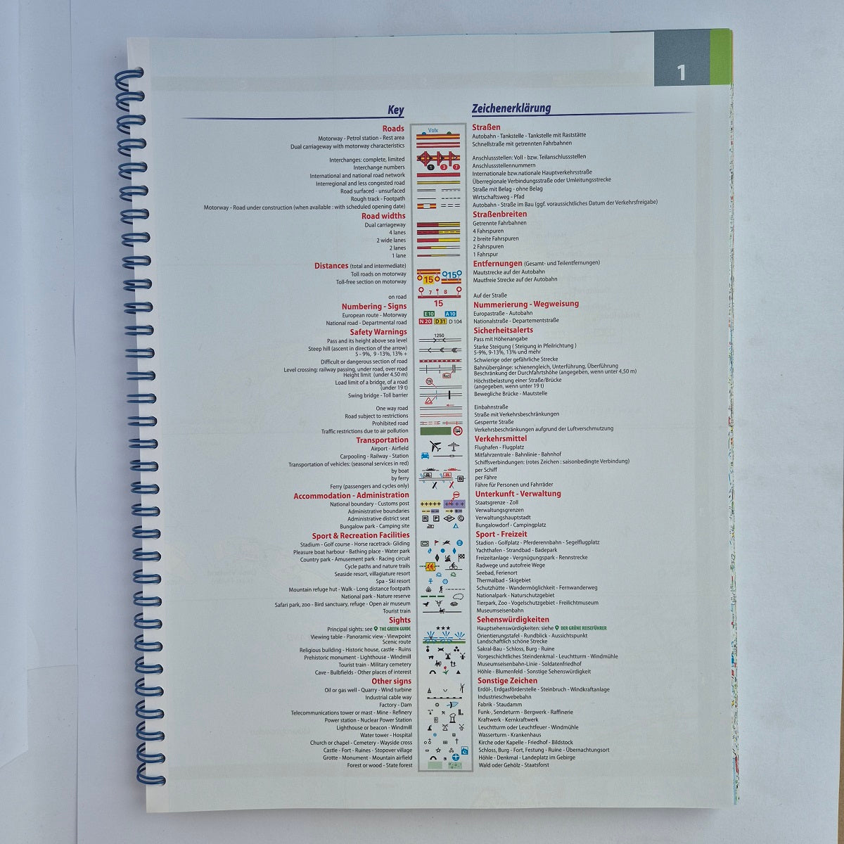
The covers are written in Dutch and French but there is a comprehensive English key.
This is a luxury A4 size atlas with a spiralbound spine. The scale is perfect for off the beaten track touring at 1cm = 1.5km or 1:150'000.
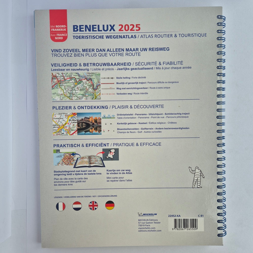
This specialist A4 road atlas is designed specifically for tourist road trips in Belgium, Netherlands, Luxembourg and Northern France. Tens of thousands of POI are symbolised from fuel stations to tourist trains and bathing spots. Map of Green Guide locations.
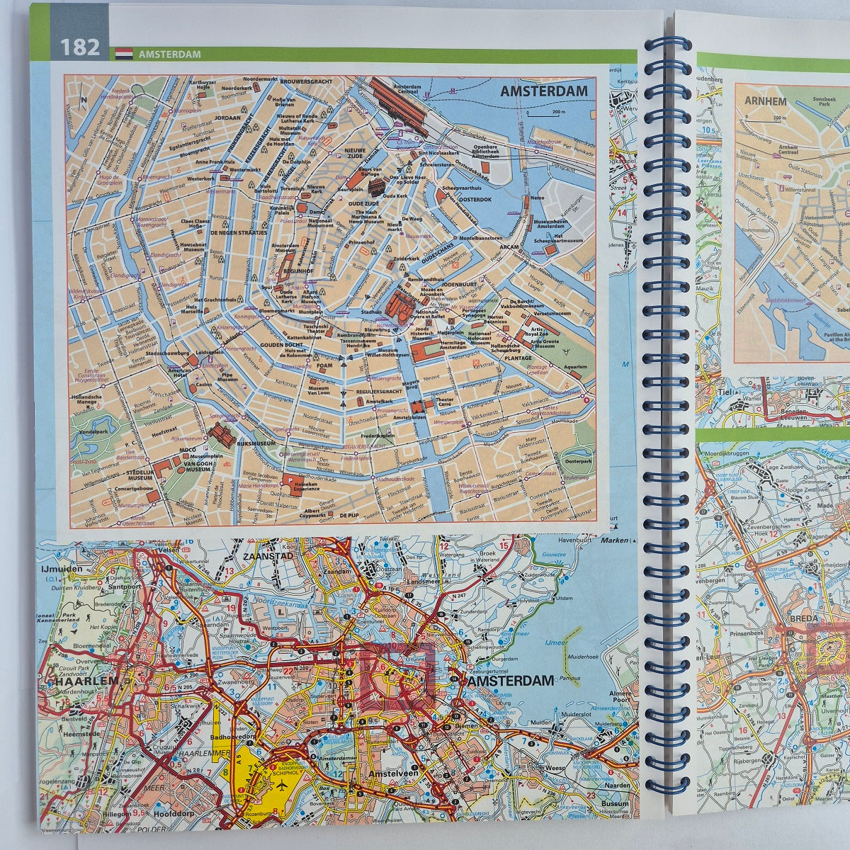
57 city plans to help you find your way around the large cities and best tourist towns. The index of town names has a clever way of highlighting the appropriate letter for speed of use. See the image.
Michelin Mapping Belgium Netherlands Luxembourg
Michelin mapping is easy to use and shows you all the places of interest along your route. Essential information such as width and height restrictions and other road safety information.
Do you need help selecting a road atlas?
Read our blog post about Finding your way with maps where Meli explains the most important factors when selecting road atlas.
Blog posts
View all-

All The Aires Spain & Portugal 7th Edition LPG/GPL
All The Aires Spain & Portugal 7th Edition LPG: Download list as PDF. Click here for Portugal. TOWN GPS DIRECTIONS Spain NOAIN N42°46.557’ W001°38.123’ Repsol. PA-31. 2km north of town....
All The Aires Spain & Portugal 7th Edition LPG/GPL
All The Aires Spain & Portugal 7th Edition LPG: Download list as PDF. Click here for Portugal. TOWN GPS DIRECTIONS Spain NOAIN N42°46.557’ W001°38.123’ Repsol. PA-31. 2km north of town....
-
What is camping like in Morocco?
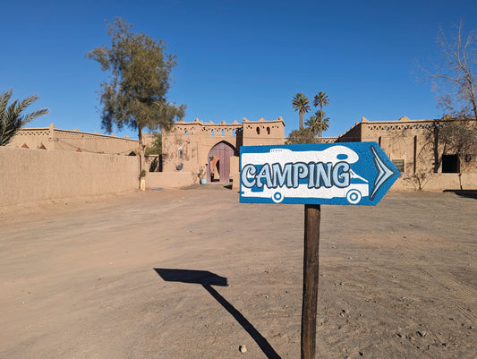
Moroccan campsites rarely compare to European campsites except for some run by ex-pats and young Moroccans. Many of the campsites were built years ago for Moroccan tourists, and standards... well...
What is camping like in Morocco?
Moroccan campsites rarely compare to European campsites except for some run by ex-pats and young Moroccans. Many of the campsites were built years ago for Moroccan tourists, and standards... well...
-
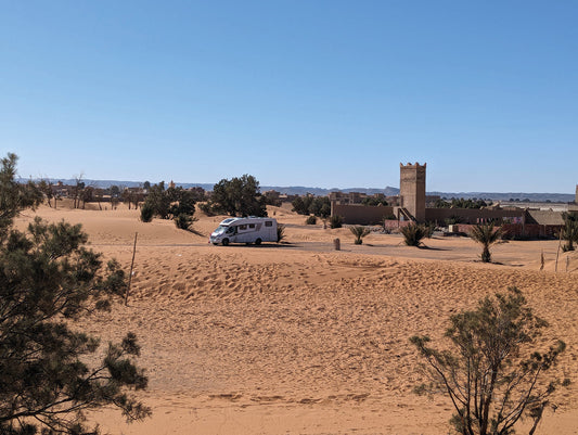
Morocco the most important things you need to know
Advice for people travelling to Morocco This blog expands the introduction of Camping Morocco 2025 digital and printed edition by Vicarious Books Media. UK and EU Passport and Visa Requirements...
Morocco the most important things you need to know
Advice for people travelling to Morocco This blog expands the introduction of Camping Morocco 2025 digital and printed edition by Vicarious Books Media. UK and EU Passport and Visa Requirements...

