Map of Aires in France for All the Aires France 10th edition Vicarious Book
Map of Aires in France for All the Aires France 10th edition Vicarious Book
11 in stock
Couldn't load pickup availability
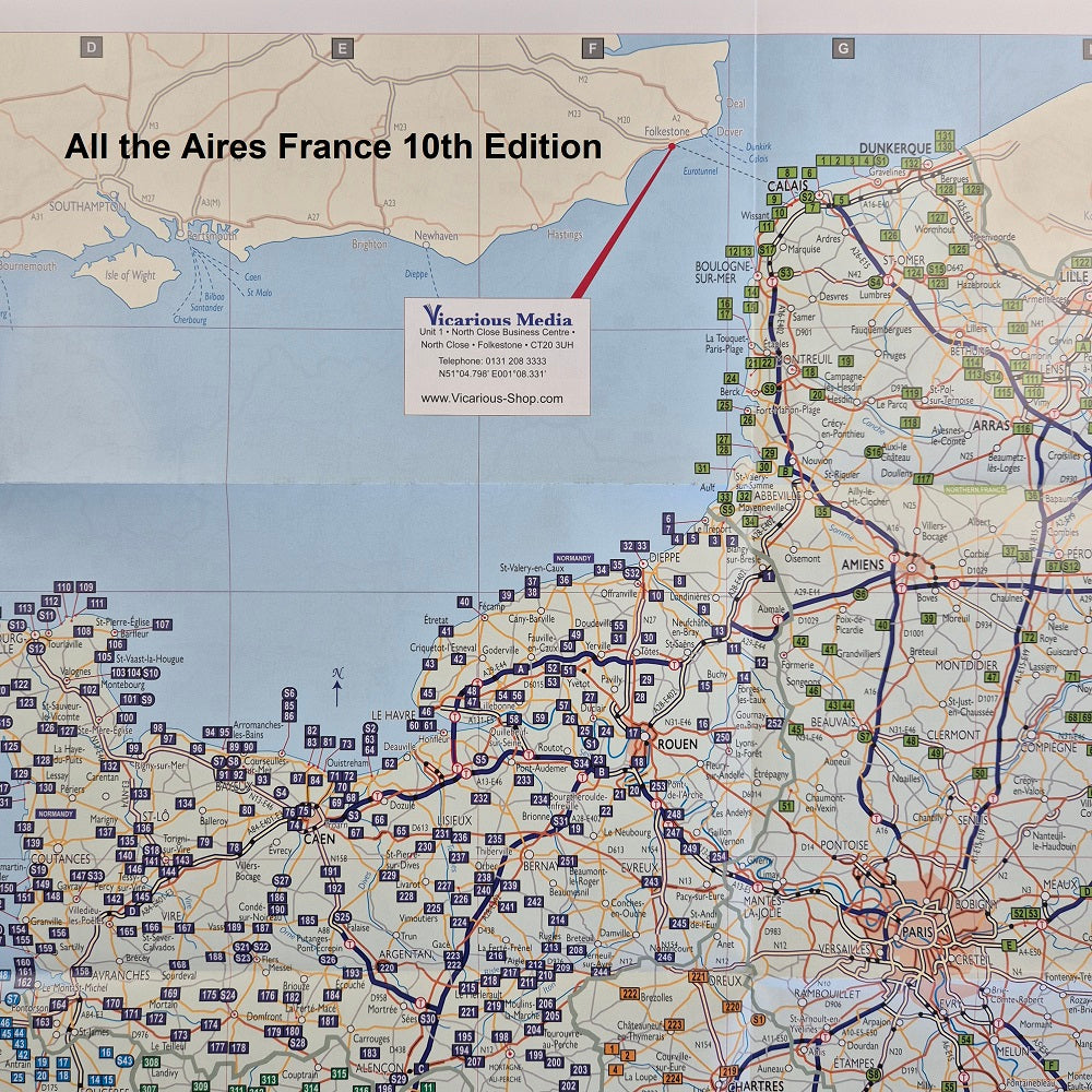
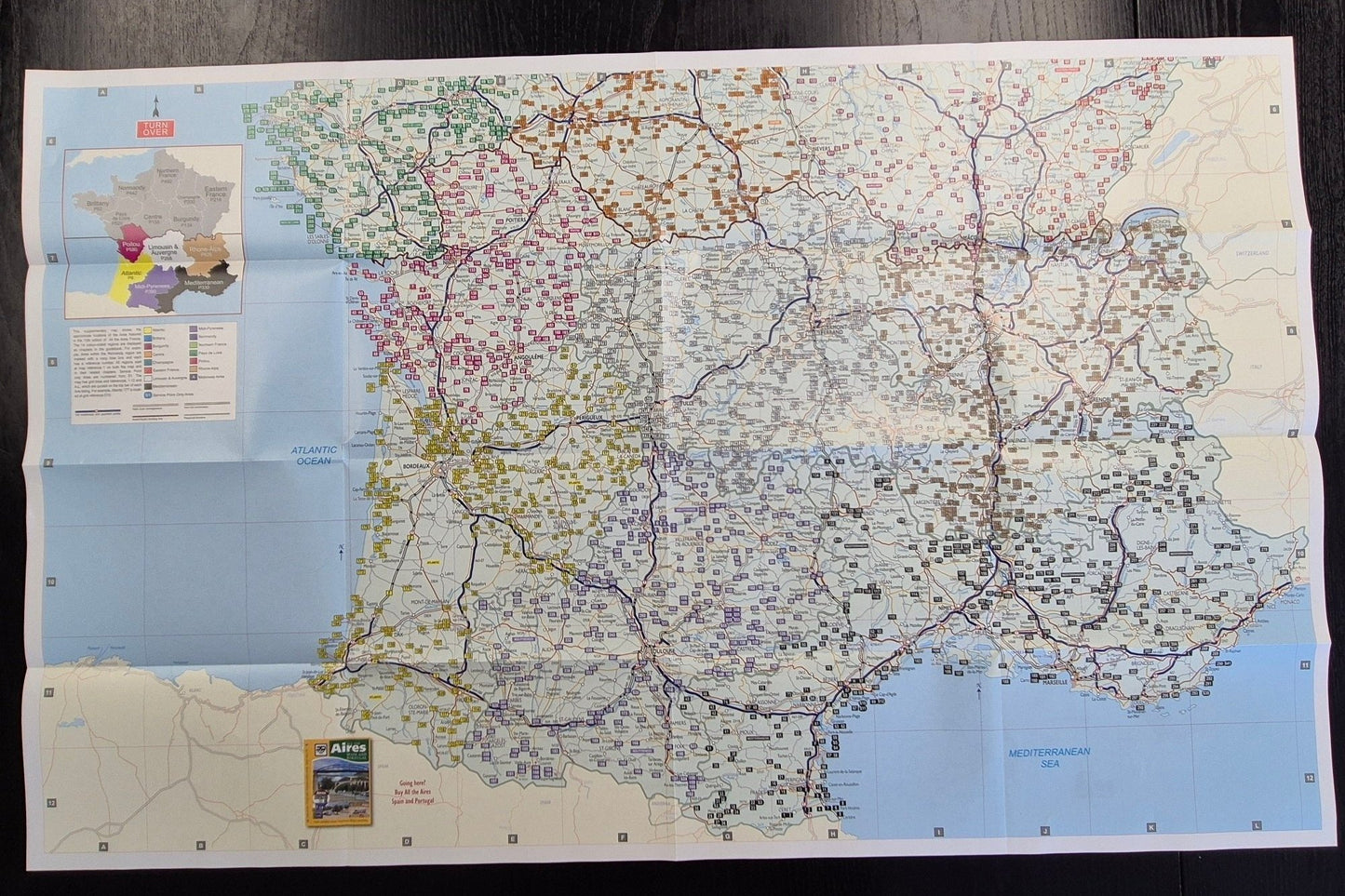
Map of aires in France. Matches 10th edition book numbers only.
(1 included with the book).
Also a Peage toll motorway map of France
- Perfect for autoroute planning France using or avoiding French toll motorways
- Every toll booth location in France identified
- Motorway Service Points for motorhomes pinpointed
- Route map of toll Motorways in France known as autoroutes Peage
This double-sided French Aires map shows the approximate locations of all 3992 Aires detailed in All the Aires France 10th edition book The map of aires in northern France are shown one side and the Aires in the south of France map the other. This is a simple road map of France that shows main routes. Motorway toll roads stand out and French Peage booths are identified. French motorway aires service stations with motorhome service points are marked with a capital letter symbol.
The Tenth edition aires book has the same but smaller mapping inside the covers and at the beginning of each regional chapter.
This map of Camping Car Aires in France measures 93.6cm x 58.8cm open and 14.6cm x 23.5cm folded up.


Love the large map. Helps me at a glance to plan our stopovers en route
If you plan to tour France then the Aires books are excellent for discovering places to stop/ park overnight.
Blog posts
View all-

All The Aires Spain & Portugal 7th Edition LPG/GPL
All The Aires Spain & Portugal 7th Edition LPG: Download list as PDF. Click here for Portugal. TOWN GPS DIRECTIONS Spain NOAIN N42°46.557’ W001°38.123’ Repsol. PA-31. 2km north of town....
All The Aires Spain & Portugal 7th Edition LPG/GPL
All The Aires Spain & Portugal 7th Edition LPG: Download list as PDF. Click here for Portugal. TOWN GPS DIRECTIONS Spain NOAIN N42°46.557’ W001°38.123’ Repsol. PA-31. 2km north of town....
-

What is camping like in Morocco?
Moroccan campsites rarely compare to European campsites except for some run by ex-pats and young Moroccans. Many of the campsites were built years ago for Moroccan tourists, and standards... well...
What is camping like in Morocco?
Moroccan campsites rarely compare to European campsites except for some run by ex-pats and young Moroccans. Many of the campsites were built years ago for Moroccan tourists, and standards... well...
-

Morocco the most important things you need to know
Advice for people travelling to Morocco This blog expands the introduction of Camping Morocco 2025 digital and printed edition by Vicarious Books Media. UK and EU Passport and Visa Requirements...
Morocco the most important things you need to know
Advice for people travelling to Morocco This blog expands the introduction of Camping Morocco 2025 digital and printed edition by Vicarious Books Media. UK and EU Passport and Visa Requirements...


